Iso Surfaces
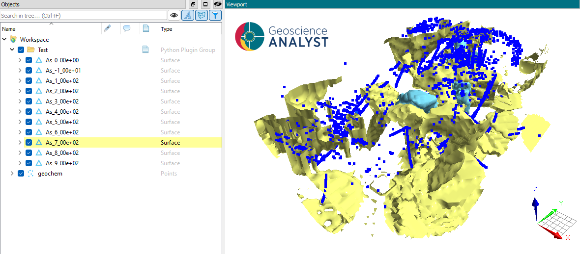
With this application, users can create surfaces of equal values from 3D data in a semi-automated fashion. The application uses a marching cubes algorithm from the open-source scikit-image package. The algorithm works by ‘marching’ across the volume, identifying iso-valued regions and adding them to an output triangulation (surface). Surfaces are exported to Geoscience ANALYST for viewing and editing.
New user? Visit the Getting Started page.
Application
The following sections provide details on the different parameters exposed in the user-interface (iso_surface.ui.json).
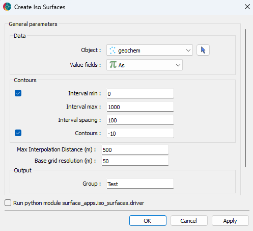
Data Selection
- Object: Select the target data object from the dropdown list. Objects should be
distributed in 3D and may be of type Points, Curve, Surface, Octree, or BlockModel.
- Data: Select the data attribute to use for iso-surface detection. Can be any
FloatData children of the selected Object.
Contour Parameters
List of parameters controlling the detection and filtering of iso-surfaces. The iso-surface levels can be provided as either a min/max/spacing interval or a fixed list.
Interval min: Interval minimum.
Interval max: Interval maximum.
Interval spacing: Interval spacing.
Contours: These are fixed iso-surface levels outside of any provided interval ranges
Max interpolation distance: Maximum distance between points for interpolation into base grid.
Base grid resolution: Resolution of the grid used by scikit-image to create the contours.
Output Preferences
- Group: Results are stored in a
Container Groupusing the name provided here.Each level will result in a separate surface stored under the group.
Need help? Contact us at support@mirageoscience.com